Crete as a Sub-Continental Realm
Stretching over 260 kilometers from west to east, Crete possesses the geographical and ecological variety of a standalone nation. Marked by four major mountain massifs—the White Mountains (Lefka Ori), the Idi Range (Mount Psiloritis), the Dikti Mountains, and the Thripti Range—the island separates the Aegean Sea from the deeper waters of the Libyan Sea toward North Africa. This monumental topography has historically isolated regional valleys, creating deeply distinct traditions in dialect, culinary production, and resistance culture.
For the traveler, understanding this scale is crucial: traversing Crete from Chania in the west to Sitia in the east requires upwards of five hours along the Northern National Road (EO90 / A90). Trying to absorb the whole island during a short weekend stay invariably results in exhausting car journeys; the island is best approached by dividing one’s focus between Western Crete (Chania and Rethymno) and Central-Eastern Crete (Heraklion and the Lasithi Plateau).
Chania and the Venetian Maritime Legacy
In Western Crete, the city of Chania offers an exceptionally preserved architectural timeline spanning Venetian hegemony (1204–1669) and Ottoman dominion (1669–1898). The Venetian Old Harbor is anchored by the 16th-century Firka Fortress, built to guard the port entrance against naval bombardment, and the stone Egyptian Lighthouse standing at the breakwater tip.
Behind the harbor basin lies the Neoria—a row of vaulted stone dry docks constructed by the Venetians to repair and store war galleys during winter months. As one wanders into the Topanas and Splantzia quarters, the street fabric reveals stone arched portals bearing Venetian family crests intertwined with Ottoman wooden enclosed balconies (sachnisi) and converted minarets. It is one of the most textured urban pedestrian cores anywhere in southern Europe.
Minoan Stratigraphy: The Palace of Knossos
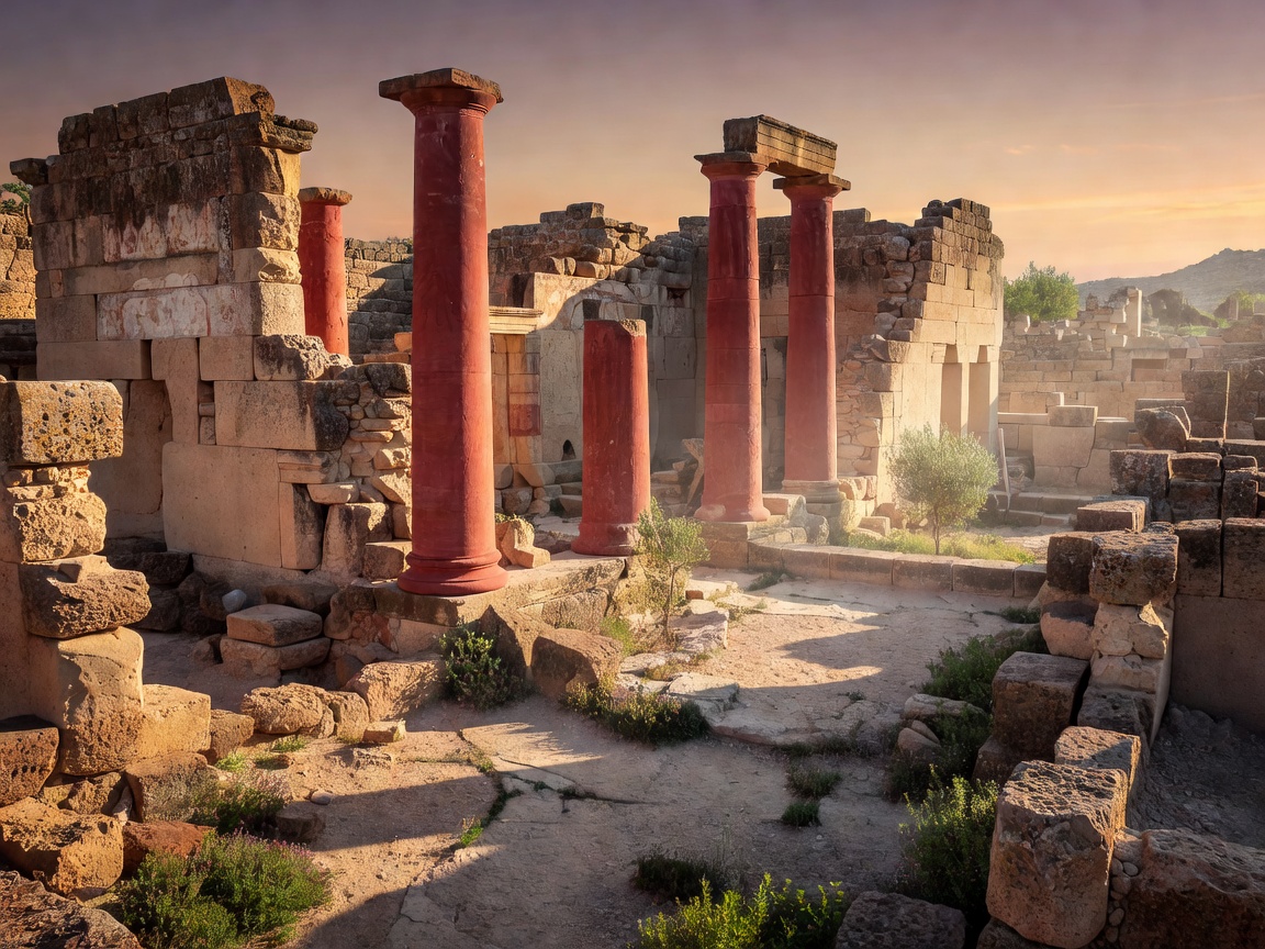
Located just south of Heraklion, Knossos stands as the ceremonial heart of Europe’s oldest recorded civilization. Flourishing between 1900 and 1450 BCE, this sprawling multi-story complex was organized around an expansive central court, incorporating residential royal quarters, monumental storage magazines containing hundreds of stone-lined pithoi for olive oil and grain, and sophisticated terra-cotta drainage networks.
The site remains intellectually fascinating due to the controversial restorations carried out by British archaeologist Sir Arthur Evans in the early 1900s. Evans utilized reinforced concrete to rebuild columned porticos and colorized frescoes such as the Prince of the Lilies and the Bull-Leaping fresco. While debated by contemporary conservators, Evans’s reconstructions provide three-dimensional insight into the complex spatial circulation that gave rise to the legendary myth of King Minos’s Labyrinth.
Comparative Regional Hubs: Chania vs. Heraklion
Western Crete: Chania & Rethymno
- Unrivaled atmospheric old-town pedestrian zones and Venetian architecture.
- Proximity to world-class coastal environments (Balos Lagoon, Falassarna, Elafonisi).
- Access to hiking trailheads including the 16-kilometer Samaria Gorge.
- Slightly longer transit to major Minoan archaeological sites in the east.
Central Crete: Heraklion & Knossos
- Immediate proximity to Knossos and the Heraklion Archaeological Museum.
- Busiest international flight terminal (HER) and extensive passenger ferry docks.
- Faster highway connections to the Lasithi Plateau and South coast plains.
- Urban core is heavily modern post-war concrete with less historic waterfront charm.
Practical Navigation and Transit Tips
Renting a reliable car is virtually mandatory to explore Crete beyond the main urban centers. While the northern highway connects Chania, Rethymno, and Heraklion, southern routes wind through steep mountain gorges with sharp switchbacks and wandering goat herds. Drive with heightened awareness and yield to ascending vehicles on narrow canyon grades.
For hiking the celebrated Samaria Gorge (open May to October depending on river runoff), take the early morning regional KTEL bus from Chania to Omalos plateau. The descent descends 1,200 meters through vertical limestone cliffs to the coastal village of Agia Roumeli on the Libyan Sea, which is accessible only on foot or by local ferry to Sougia and Chora Sfakion.