Vol. 14 — Mediterranean Regional Folio

The Topography of Greece: Ancient Pillars to Volcanic Coastlines

A curated survey across the Peloponnese and Aegean basin, mapping classical citadels, monastic precipices, and mineral shores with architectural clarity and unhurried logistical perspective.

Coverage: 5 Anchor Regions Focus: Geography & Seasonal Transit Updated: Spring 2026
Field Portfolio

Essential Destinations & Cultural Landmarks

Five comprehensive regional folios examining historical architecture, accessibility, local infrastructure, and seasonal rhythm.

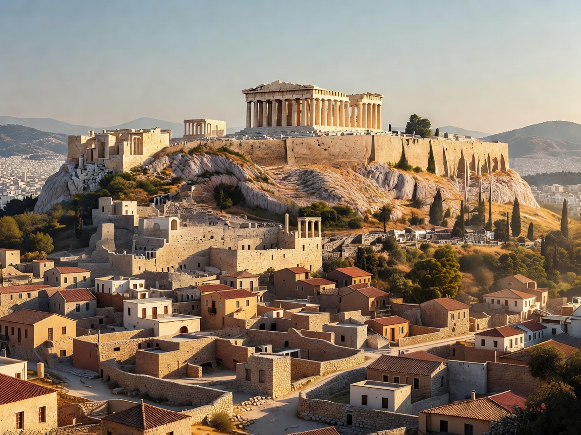
The limestone citadel of the Acropolis and the Parthenon overlooking central Athens
Attica Peninsula Dispatch 01

Athens: Acropolis Rock, Ancient Agora & Classical Plaka

Europe’s oldest capital balances the high Pentelic marble of the Parthenon and Periclean monuments with the continuous streetscape of Plaka and Anafiotika. Delve into ticket timing, urban walking paths, and thermal management.

Ideal Stay 3–4 Days
Prime Months Apr–May / Oct–Nov
Key Anchor Acropolis Citadel
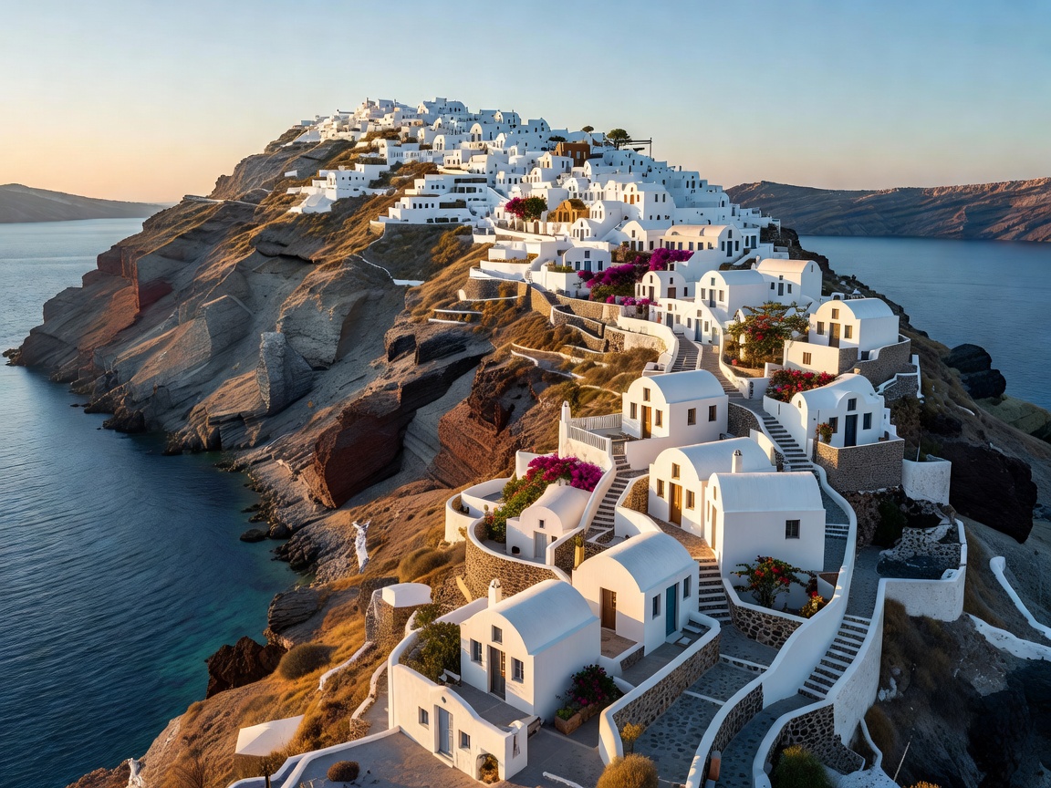
Curved caldera cliffside with whitewashed dwellings in Oia Santorini during late afternoon
South Aegean Cyclades Dispatch 02

Santorini: Caldera Geomorphology, Oia Ridges & Thera

A sunken volcanic crater fringed with high pumice cliffs, volcanic tephra, and steep tiered settlements. We examine pedestrian flows between Fira and Oia, wind cycles, ferry access, and quiet inland alternatives like Pyrgos.

Ideal Stay 3–5 Days
Prime Months May–Jun / Sep–Oct
Key Anchor Caldera Footpath
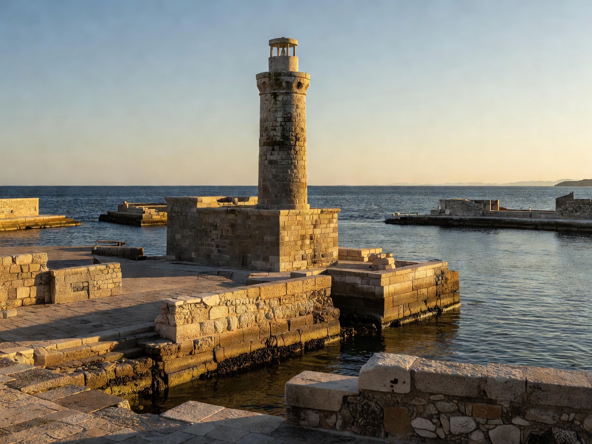
Venetian harbor lighthouse and ancient seawalls in Chania Crete
Southern Aegean Rim Dispatch 03

Crete: Minoan Antiquity, Venetian Harbors & Coastal Gorges

Greece's largest island spans monumental Minoan palaces at Knossos, Venetian maritime fortifications in Chania and Rethymno, and dramatic mountain descents toward the Libyan Sea. Review highway transit and regional splits.

Ideal Stay 7–10 Days
Prime Months May–Jun / Sep–Oct
Key Anchor Old Town Chania

Navigation & Logistics

Regional Geography & Seasonal Transit Rules

Moving through the Greek landmass requires understanding three distinct operational realities: ferry scheduling wind seasons (the Meltemi), high-summer heat management in ancient stone quarries, and transport hub dependencies.

The Meltemi Wind Phenomenon

From late June through August, strong northerly winds sweep across the central Cyclades. High-speed catamarans face regular delays or cancellations; conventional monohull vessels maintain steadier crossings across open sea channels.

01

Ferry Networks & Piraeus Hubs

Athens serves as the marine junction for all major island chains. Piraeus hosts heavy car ferries and western Aegean runs, while Rafina offers streamlined access to the northern Cyclades. Always reserve passenger slots well in advance during peak July through August sailings.

02

Thermal Window Planning

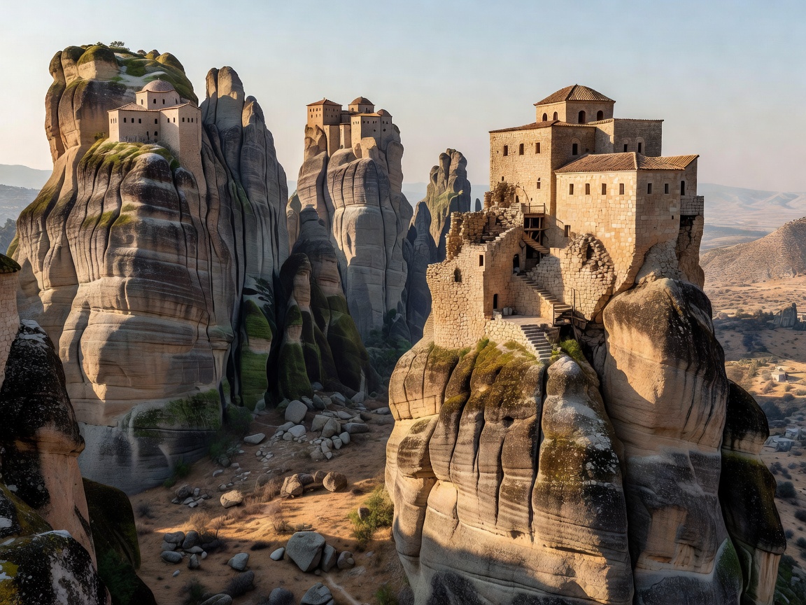
Acropolis sanctuaries, Knossos ruins, and Meteora rock staircases feature unshaded limestone and sandstone surfaces. Surface temperatures regularly exceed 38°C by noon in midsummer. Site entries should be targeted for the 08:00 opening hour or post-17:00 arrival.

03

Island Vehicle Logistics

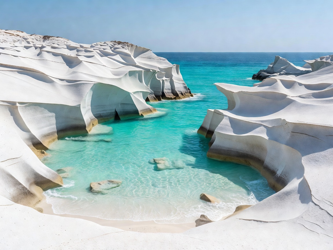
While Athens and Meteora are accessible via suburban transit and mainline rail, islands such as Crete and Milos necessitate small manual or automatic cars for remote coastlines, unpaved mining roads, and western cliff trails unreachable by regional KTEL buses.

04

Heritage Etiquette & Attire

Monastic complexes across Meteora enforce modesty requirements: shoulders covered, long skirts for women below the knee, and long trousers for men. Monasteries provide wraparound fabrics at entrance gates, but arriving prepared simplifies the climb.